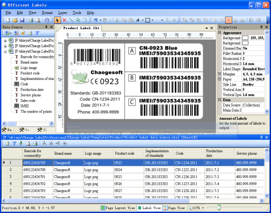
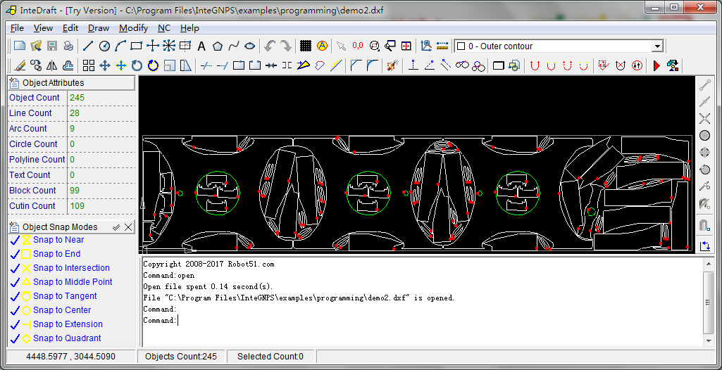
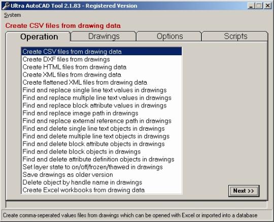
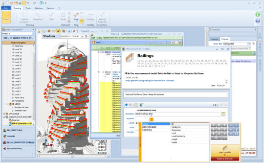
Smart GIS Map Editor and GPS Tracking

ソフトウェアのスクリーンショット:
Smart GIS Map Editor and GPS Tracking
ソフトウェアの詳細:
バージョン: 18.001
日付のアップロード: 18 Jan 18
開発者: Smart GIS Software
ライセンス: 無料
人気: 154
サイズ: 12439 Kb

Rating: 1.5/5 (Total Votes: 2)

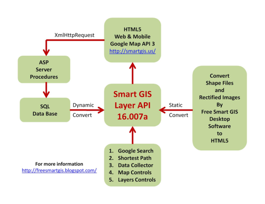
地理情報システム(GIS)は、地図作成データの格納、検索、分析、および表示のためのコンピュータプログラムである。 GISは、地理、グラフィック、データベース、運用研究、ソフトウェアエンジニアリング、ソフトウェアプログラミング、コード拡張などのGISプログラミングに不可欠なさまざまな科学の影響を受けます。

現在の機能:
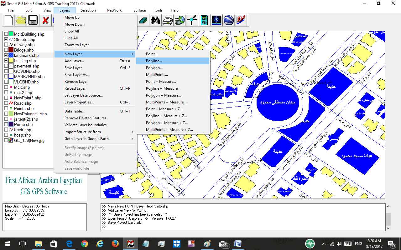
1)シェイプファイルとそれに関連するDBFファイルを構築、編集、デジタル化して表示する。
2)空間分析、属性分析、表面分析、ネットワーク分析。
3)Google Earthで修正されたマップ画像をダウンロードし、ラスター画像を補正します。
4)デスクトップGIS形状ファイルをAutoCAD DXFファイル形式に変換し、その逆も同様です。
5)デスクトップGISシェイプファイルをGoogle KMLファイルフォーマットに変換します。
6)デスクトップGISシェイプファイルと整流されたイメージをhtml5 Web GISとMobile Appに変換します。
7)オンラインGPSトラッキングシステム
8)Total StationファイルをGIS Shapeファイルに変換します。
9)横メルカトルを地理座標系に変換し、逆も同様である。

経験:
Smart GISソフトウェアは、イエメンとエジプトのいくつかの世界銀行プロジェクトで使用されており、United Nations Spatial Data Infrastructure(Netherlands Coordination Office)のWebサイトで推奨されています。

スクリーンショット

smart-gis-map-editor-and-gps-tracking_1_329820.png
smart-gis-map-editor-and-gps-tracking_2_329820.png
smart-gis-map-editor-and-gps-tracking_3_329820.png
smart-gis-map-editor-and-gps-tracking_4_329820.png
smart-gis-map-editor-and-gps-tracking_5_329820.png
smart-gis-map-editor-and-gps-tracking_6_329820.png
smart-gis-map-editor-and-gps-tracking_7_329820.png
smart-gis-map-editor-and-gps-tracking_8_329820.png
smart-gis-map-editor-and-gps-tracking_9_329820.png

サポートされるオペレーションシステム

同じようなソフトウェア

Efficient Labels
Efficient Labels

23 Oct 17

InteGNPS
InteGNPS

24 Aug 17

Ultra AutoCAD Tool
Ultra AutoCAD Tool

22 Jan 15

Edificius
Edificius

11 Dec 14

開発者の他のソフトウェア Smart GIS Software

Smart GIS 2018
Smart GIS 2018

14 Aug 18

へのコメント Smart GIS Map Editor and GPS Tracking

コメントが見つかりません
コメントを追加
画像をオンにする!